MURMURATION is a company that provides environemental studies all over the world using artificial intelligence and big data techniques to analyse data from satellites and other data sources.
On this first map, we use data from Copernicus and the Sentinel 2 satellite to detect the land cover in a 20 square kilometers area. Here, we choose to detect :
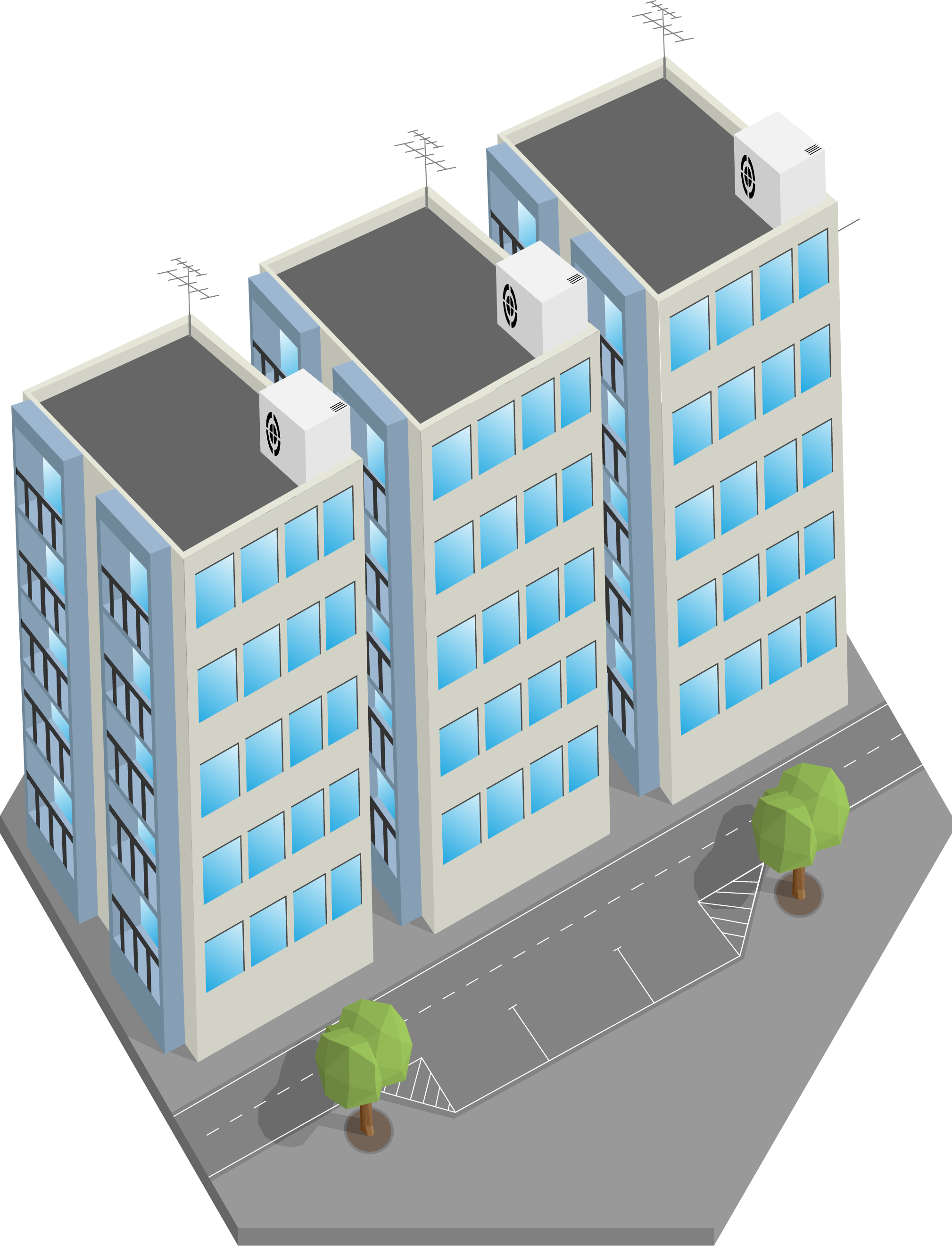 urban,
 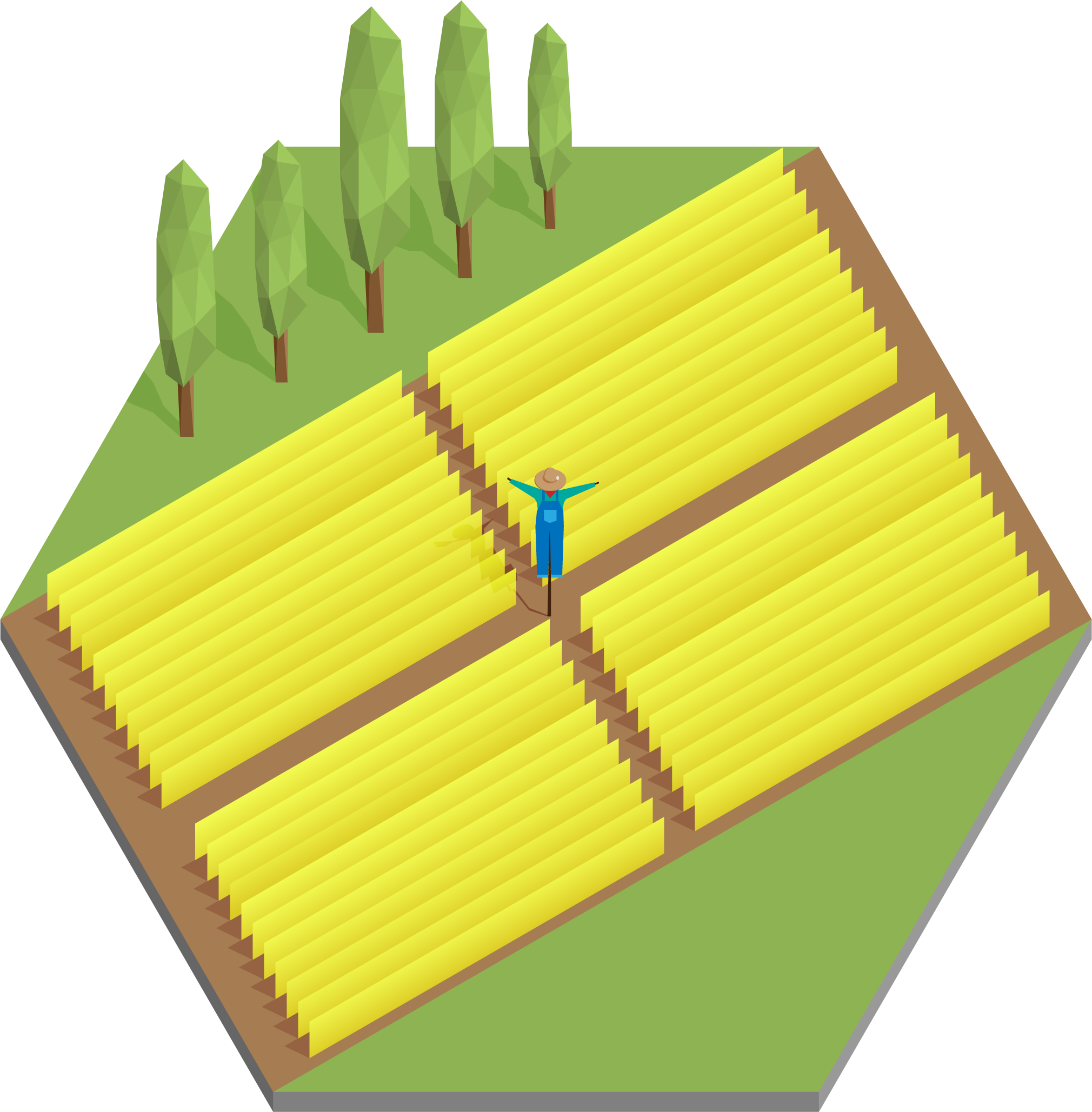 agricultural,
 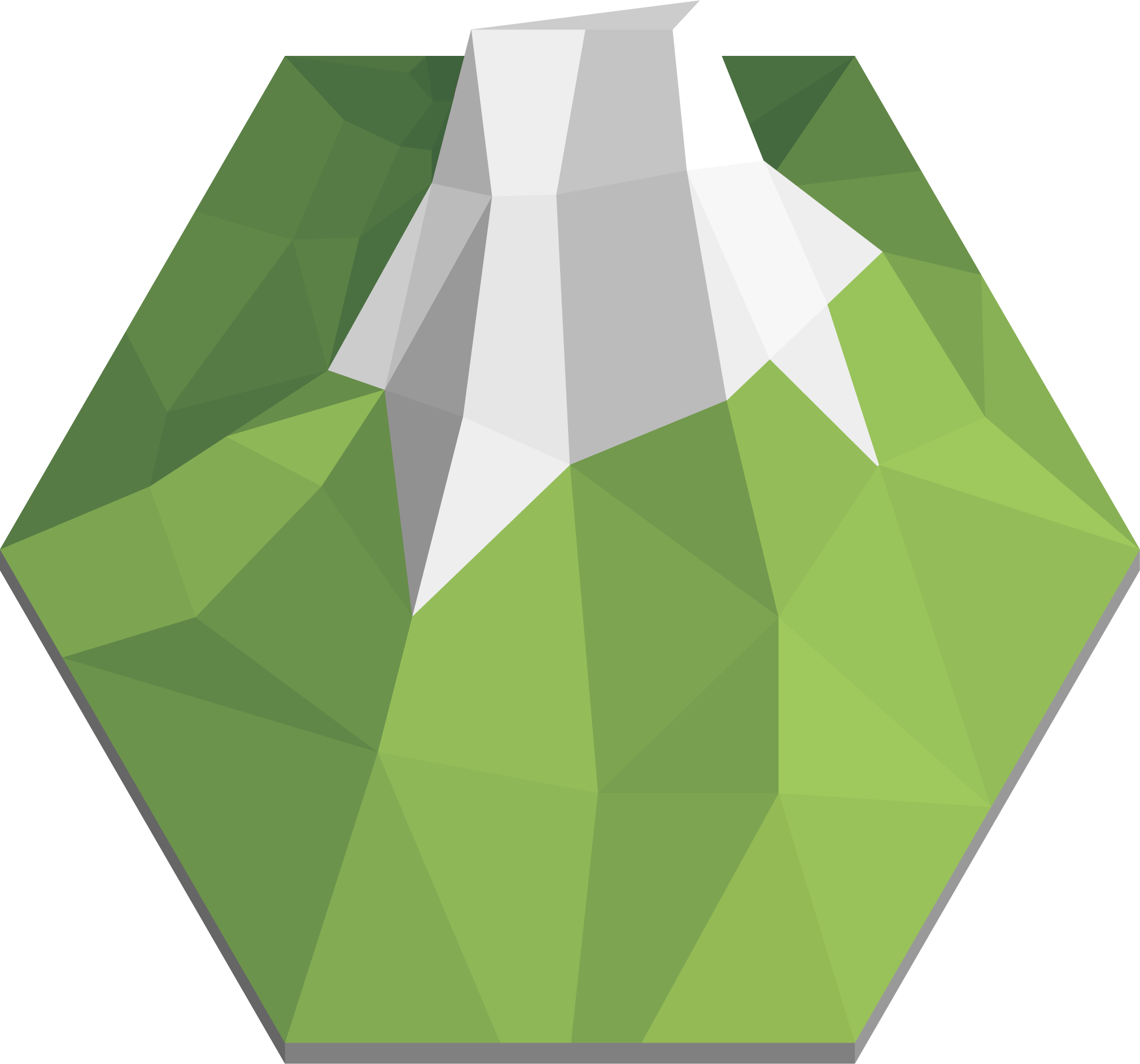 mountain,
 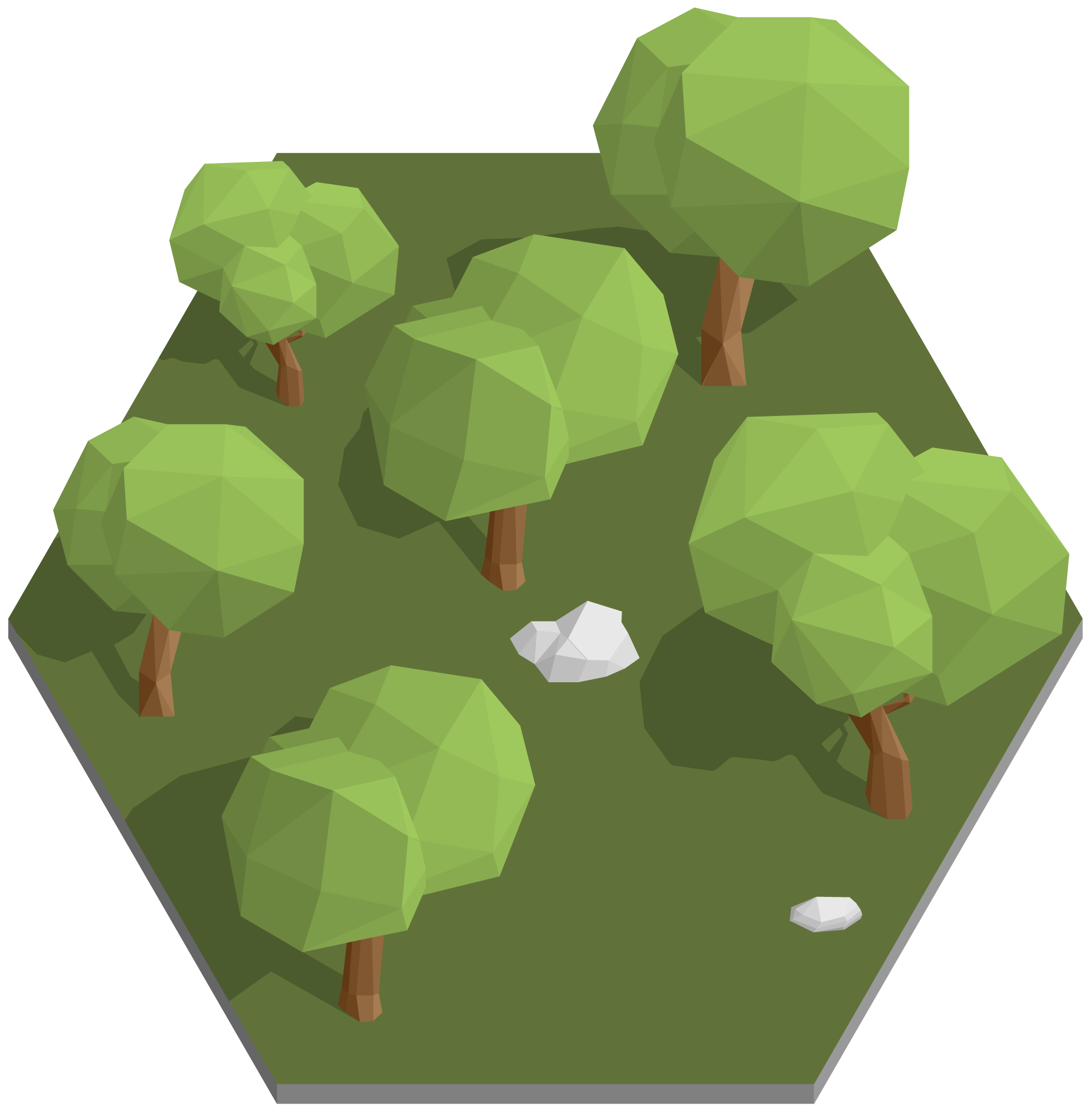 forest,
 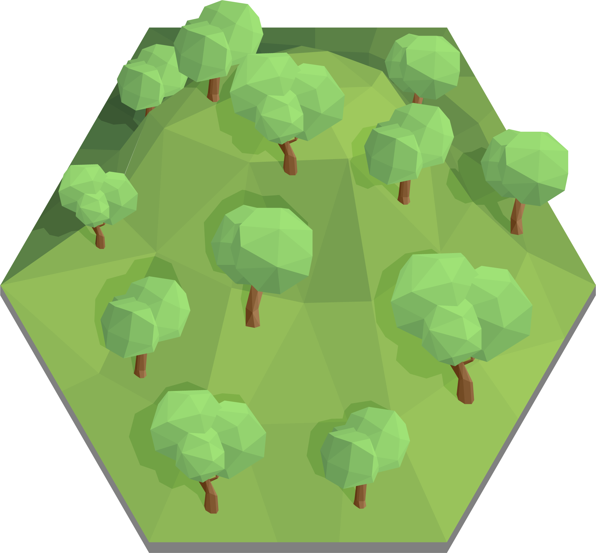 mountainous forest,
 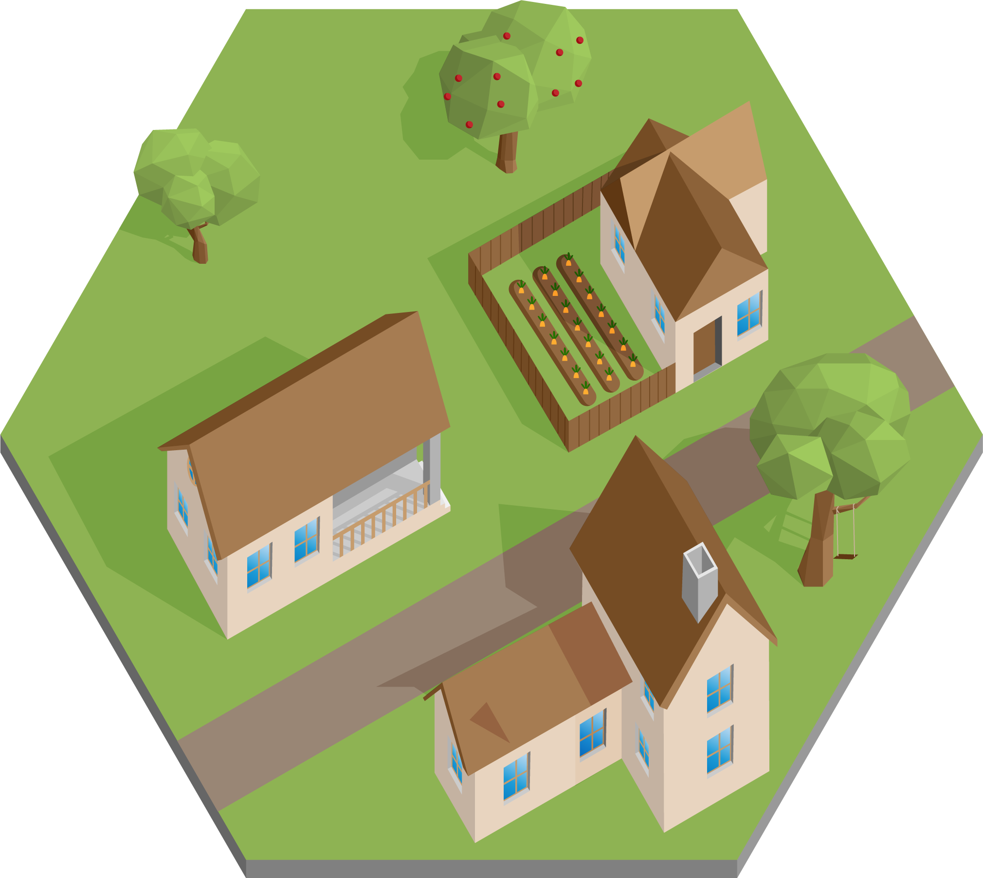 rural areas.
 Click on the arrow on the right to close this window and start your discovery of France.